Introduction
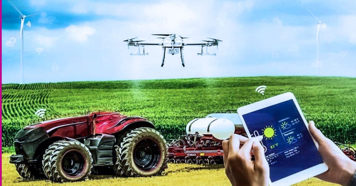
The integration of technology into agriculture has revolutionised farming practices, leading to the emergence of smart farming solutions. These innovations aim to improve productivity, sustainability, and efficiency while addressing the challenges posed by climate change and a growing global population.
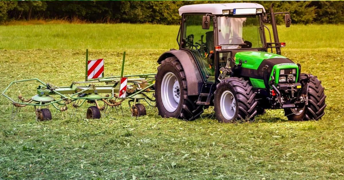
1. Precision Agriculture
Definition and Importance
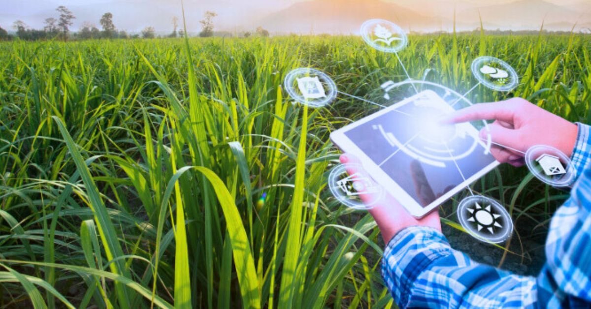
Precision agriculture involves using advanced technologies to monitor and manage field variability in crops. This approach enhances decision-making and resource management.
Key Technologies
GPS Technology in Agriculture
1. Precision Farming
- Guidance Systems: GPS technology provides automated guidance systems for tractors and other machinery. These systems ensure that equipment follows precise paths in the field, minimising overlap and gaps. This reduces fuel consumption, wear and tear on machinery, and ensures consistent application of inputs (e.g., seeds, fertilisers).
- Variable Rate Technology (VRT): This allows farmers to apply different amounts of inputs (fertilisers, pesticides, herbicides) based on the specific needs of different parts of a field. For example, areas with poor soil fertility can receive more fertiliser, while areas with better fertility get less. This optimises input use and increases crop yields.
2. Field Mapping
- Boundary Mapping: GPS technology helps in accurately mapping the boundaries of fields. This information is crucial for planning field operations, managing land use, and ensuring that operations are confined to the designated areas.
- Soil Sampling: GPS enables precise location marking for soil sampling. By collecting soil samples from specific GPS-marked points, farmers can obtain accurate data on soil composition and nutrient levels, leading to better soil management practices.
3. Crop Monitoring
- Yield Mapping: GPS-equipped harvesters collect data on crop yield as they work. This data is mapped to show yield variability across the field. By analyzing these maps, farmers can identify high- and low-yield areas and make targeted adjustments to improve overall productivity.
- Data Collection: GPS technology allows for the collection of detailed data on crop health, growth patterns, and field conditions. This data can be used to monitor crop development and detect issues early.
4. Efficient Resource Management
- Irrigation Management: GPS-guided irrigation systems can be programmed to deliver precise amounts of water to different parts of a field based on soil moisture levels and crop needs. This reduces water waste, prevents over-irrigation, and ensures optimal crop growth.
- Fleet Management: GPS helps in tracking the location and usage of agricultural machinery and vehicles. This information is used for route optimization, maintenance scheduling, and overall fleet management, leading to cost savings and increased operational efficiency.
5. Field Operation Management
- Task Automation: GPS technology facilitates the automation of various field tasks, including planting, spraying, and harvesting. Automation reduces labor costs and increases operational precision.
- Timing and Scheduling: By providing accurate location and timing information, GPS technology helps in scheduling field operations more effectively. This ensures that tasks are completed at the optimal time, improving overall farm management.
Geographic Information Systems (GIS) in Agriculture
1. Precision Agriculture
- Soil and Crop Mapping: GIS enables the creation of detailed maps that show soil properties (e.g., pH, texture, nutrient levels) and crop conditions. These maps help farmers understand spatial variability within fields and make informed decisions about management practices.
- Site-Specific Management: GIS supports site-specific management by analyzing spatial data to identify areas of varying soil quality and crop health. This allows farmers to tailor their practices to the specific needs of different field zones.
2. Data Integration and Analysis
- Layering Data: GIS integrates various data layers (e.g., soil, weather, crop health) into a single platform. This integration allows for comprehensive analysis and visualization of spatial relationships and trends.
- Decision Support: GIS tools provide advanced analytical capabilities, helping farmers interpret data trends and make better decisions regarding crop management, resource allocation, and field practices.
3. Resource Management
- Water Management: GIS helps in analysing and optimising irrigation practices by mapping water availability, soil moisture, and crop water requirements. This ensures efficient use of water resources and helps in managing irrigation systems more effectively.
- Fertiliser Application: GIS allows for precise mapping of nutrient levels and guides the application of fertilisers based on soil and crop needs. This improves fertiliser efficiency, reduces environmental impact, and enhances crop growth.
4. Crop Monitoring and Management
- Remote Sensing: GIS utilises satellite imagery and aerial photography to monitor crop health and field conditions. Remote sensing can detect issues such as pest infestations, nutrient deficiencies, and disease outbreaks, allowing for timely interventions.
- Yield Prediction: GIS tools analyse historical yield data and current field conditions to predict future crop yields. This helps in planning for harvest, marketing, and resource allocation.
5. Environmental Protection
- Sustainable Practices: GIS helps in assessing the environmental impact of farming practices and supports the implementation of sustainable agriculture. By analysing spatial data, farmers can adopt practices that minimise environmental damage and promote conservation.
- Erosion Control: GIS identifies areas prone to soil erosion and helps in planning erosion control measures, such as planting cover crops or constructing terraces.
6. Farm Planning and Management
- Field Layout Planning: GIS assists in designing field layouts that optimise land use, improve field accessibility, and enhance operational efficiency. This includes planning for crop rotation, field boundaries, and infrastructure placement.
- Risk Management: GIS analyses risks such as pest outbreaks, weather events, and soil degradation. By identifying high-risk areas and potential impacts, farmers can develop proactive management strategies to mitigate these risks.
Combined Benefits of GPS and GIS in Agriculture
1. Enhanced Precision and Efficiency
- Integration: Combining GPS and GIS provides a powerful toolkit for precision farming. GPS offers accurate location data, while GIS provides analytical tools for spatial data. Together, they enhance precision in field operations and input management.
2. Improved Decision-Making
- Data-Driven Insights: The integration of GPS and GIS allows for comprehensive data analysis, leading to better decision-making. Farmers can use spatial data to make informed decisions about crop management, resource use, and field operations.
3. Increased Productivity
- Operational Efficiency: The combination of GPS and GIS improves operational efficiency by automating tasks, optimising resource use, and providing detailed insights. This leads to increased crop yields and overall productivity.
4. Cost Savings
- Resource Optimisation: GPS and GIS technologies help in optimising the use of inputs such as seeds, fertilisers, and water. This reduces waste and lowers production costs, leading to cost savings for farmers.
5. Environmental Benefits
- Sustainable Agriculture: The use of GPS and GIS promotes sustainable agriculture by reducing environmental impact, minimising resource waste, and supporting conservation efforts.
Overall, GPS and GIS technologies offer significant benefits to agriculture by enhancing precision, efficiency, and decision-making, leading to improved productivity, cost savings, and environmental sustainability.
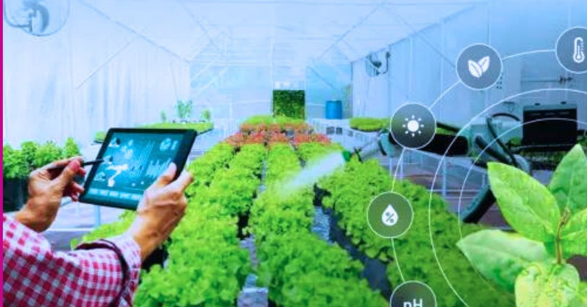
Internet of Things (IoT)
Overview
The IoT connects devices and systems that gather data from various sources on farms, enabling real-time monitoring and automation.
Applications of Soil Moisture Sensors in Agriculture
1. Continuous Moisture Monitoring
- Real-Time Data Collection: Soil moisture sensors continuously measure the amount of water present in the soil. They provide real-time data on soil moisture levels, which is essential for understanding the current state of soil hydration.
- Soil Moisture Profiles: Advanced sensors can measure moisture at various soil depths, creating a comprehensive profile of soil moisture. This helps in assessing moisture distribution throughout the root zone of crops.
- Data Logging: Sensors typically log data over time, allowing for trend analysis. Farmers can track changes in soil moisture levels, identify patterns, and correlate them with crop growth stages or weather conditions.
2. Automated Irrigation Systems
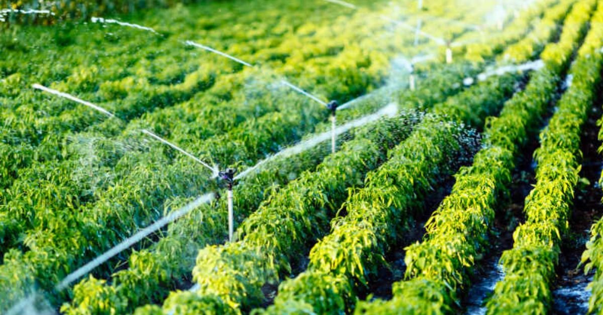
- Real-Time Irrigation Control: Soil moisture sensors can be integrated with automated irrigation systems to control water application based on real-time soil moisture data. This ensures that irrigation is applied only when necessary, based on the actual needs of the soil and crops.
- Irrigation Scheduling: By using sensor data, automated systems can adjust irrigation schedules dynamically. For example, if sensors detect sufficient moisture levels, the system may delay or skip irrigation, preventing over-watering.
- Efficient Water Use: Automated irrigation systems help in delivering precise amounts of water to different areas of the field based on moisture readings. This reduces water waste and ensures that all parts of the field receive adequate hydration.
3. Enhanced Crop Management
- Optimised Watering: By providing accurate soil moisture data, sensors help farmers determine the optimal amount of water needed for different crops. This can lead to healthier plants and improved yields.
- Stress Detection: Soil moisture sensors can help detect water stress in crops early. By monitoring moisture levels, farmers can identify areas where crops might be suffering from insufficient water and take corrective actions.
- Tailored Irrigation: Different crops have different water requirements. Soil moisture sensors enable farmers to tailor irrigation practices to the specific needs of each crop, improving overall water management.
4. Efficient Resource Management
- Cost Savings: By optimising irrigation practices, soil moisture sensors help reduce water usage and associated costs. Efficient irrigation also reduces the need for additional inputs like fertilizers, which can be washed away by excessive watering.
- Environmental Impact: Proper irrigation management reduces water runoff and soil erosion. It also minimises the risk of waterlogging, which can negatively affect soil health and crop growth.
5. Data-Driven Decision Making
- Predictive Analysis: Historical data from soil moisture sensors can be used to predict future water needs based on seasonal patterns, weather forecasts, and crop growth stages.
- Integration with Other Systems: Soil moisture data can be integrated with other agricultural technologies, such as weather stations and crop management software. This provides a more holistic view of field conditions and enhances decision-making.
6. Research and Development
- Agricultural Research: Soil moisture sensors are used in research to study the effects of different irrigation practices on crop yield and soil health. They help in developing new techniques and technologies for water management in agriculture.
- Precision Agriculture Studies: Researchers use soil moisture sensors to explore and refine precision agriculture practices, improving the efficiency and sustainability of farming operations.
Benefits of Soil Moisture Sensors
- Improved Water Efficiency: By ensuring that water is applied only when needed, soil moisture sensors help conserve water resources and improve irrigation efficiency.
- Enhanced Crop Health: Accurate moisture management supports optimal crop growth and can lead to higher yields and better quality produce.
- Cost Savings: Reduced water usage and improved efficiency lower operational costs, contributing to overall cost savings for farmers.
- Sustainability: Efficient water management practices promoted by soil moisture sensors support sustainable farming by reducing environmental impact and preserving natural resources.
.
Weather Stations
Provide localised weather information.
Assist farmers in making timely decisions regarding planting and harvesting.
Livestock Monitoring Systems
Track health indicators like heart rate and activity levels through wearable sensors.
Advantages
Enhances resource efficiency (water, feed).
improves animal welfare through health monitoring.
supports proactive decision-making based on real-time data.
Data Analytics
Significance of Data Analytics
Data analytics involves collecting large volumes of agricultural data for analysis to derive actionable insights.
Tools Used
Big Data Platforms
Store vast amounts of agricultural data for processing.
Machine Learning Algorithms
Analyse historical data to predict outcomes such as yield forecasts or pest outbreaks.
Impact on Farming Practices
Allows for better forecasting of market trends.
enhances risk management strategies by predicting adverse weather events or disease outbreaks.
Automation and Robotics
Introduction to Agricultural Robotics
Automation technologies are increasingly being used in various aspects of farming, from planting to harvesting.
Types of Agricultural Robots
Autonomous Tractors
Perform tasks such as ploughing, seeding, and spraying without human intervention.
Harvesting Robots
Designed to pick fruits or vegetables efficiently with minimal damage to produce.
Benefits
Reduces labour costs significantly.
increases operational efficiency by performing tasks faster than traditional methods.
Biotechnology
Genetic Engineering in Crops
Biotechnology plays a crucial role in developing genetically modified organisms (GMOs) that are resistant to pests, diseases, or extreme weather conditions.
Applications
Creation of drought-resistant crops that require less water during dry seasons.
Implications for Sustainability
Biotech solutions can lead to higher yields with fewer inputs, contributing to food security while minimising environmental impact.
Conclusion
Smart farming solutions represent a significant advancement in modern agriculture, utilising technology to enhance productivity while promoting sustainable practices. As these technologies continue to evolve, they will play an essential role in meeting the demands of a growing population while addressing environmental challenges effectively